
Page 30 - hisdeSAT Annual Report 2017
P. 30
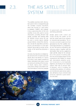
2.3.                        THE AIS SATELLITE


                                            SYSTEM


                                            The satellite maritime traffic informa-
                                            tion system (AIS) is managed through
                                            the Canadian company exactEarth,
                                            which was formed as a joint ventu-
                                            re between COMDEV and Hisdesat.    for governments and maritime, port
                                            It has a pioneering fleet of 58 S-AIS   and fishing authorities.
                                            satellites in low orbit used for marine
                                            observation, providing efficient, high  Besides global  traffic  control  and
                                            quality coverage and tracking data  coastal security, the system can be
                                            for 165,000 vessels across the glo-  used for search and rescue missions
                                            be, even in remote regions. Multiple  or environmental operations. The in-
                                            ground stations receive this informa-  formation received complements that
                                            tion, decode the algorithms and then  generated by the PAZ satellite. Envi-
                                            process and distribute it to the client  ronmental protection is a fundamen-
                                            network. Being able to monitor all the  tal role. The precision afforded by AIS
                                            oceans of the world thus becomes a  motoring systems, together with the
                                            reality.                           information that can be supplied by
                                                                               radar satellite, allows for the anticipa-
                                            Accuracy has become an indispensa-  tion of the spread of maritime pollu-
                                            ble element of AIS. It is able to provide   tion, thus encouraging respect for the
                                            details about the identity of a vessel,   environment  and  helping to comply
                                            its location, route, speed, navigational   with international protection proto-
                                            status, destination and cargo, as well   cols. Conservation is a non-negotiable
                                            as manoeuvres being performed, dep-  objective, and having at our disposal
                                            th,  length,  registry, wave  conditions,   systems that help to prevent natu-
                                            rocky areas, energy consumption, etc.   ral disasters, assist in avoiding and
                                            This information is extremely valuable
                                                                               controlling the pollution of maritime,
                                                                               con-tinental and subterranean waters
                                                                               and, ultimately, ensure environmental
                                                                               protection, represents a great advan-
                                                                               ce in this field.


    © EXACTEARTH


                                                           30
                                          HISDE            30
                                          HISDE S AT           ANNU AL REPOR T 2 017S AT           INF ORME ANU AL 2 017