
Page 13 - MEMORIA HISDESAT 2018
P. 13
It allows the observation of the territory for multiple applications: border control, intelligence, environmental of radio concealment GNSS (global satellite navigation system) are carried out to improve predictions regarding
control, protection of natural resources, military operations, verification of international treaties, surveillance atmospheric behaviors, such as rains, floods, etc. This project is led by the Space Science Institute (ICE) of the CSIC
of the land surface, urban planning, infrastructure planning, evaluation of natural disasters and cartography of and is supported by the NASA Jet Propulsion Laboratory (JPL), the National Oceanic and Atmospheric Administration
high resolution, among others. (NOAA) and Hisdesat.
Airbus in Spain, as the main contractor of the program, led a team of 18 Spanish companies and three PAZ shares the same orbit as the TerraSAR-X and TanDEM-X radar satellites of Airbus, forming a constellation of very
universities, so the Spanish space industry has been deeply involved in the development of its advanced active high resolution SAR satellites. Hisdesat and Airbus will jointly market this new constellation.
sensor with SAR technology, which stands out for its great sophistication and complexity.
PAZ also allows us to substantially improve our country’s positioning within the European program for global
environmental monitoring and security Copernicus, the main initiative in the field of Earth observation led by the
European Union and the European Space Agency (ESA), being designated PAZ, as Copernicus Contributing Mission.
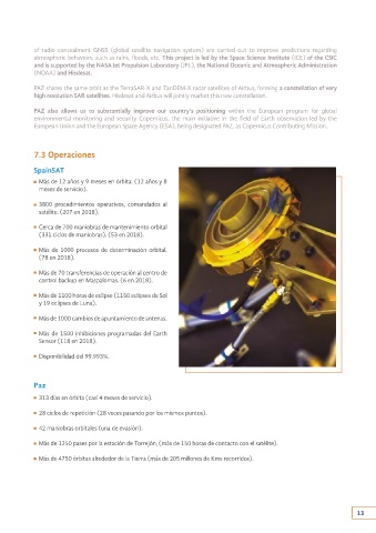
7.3 Operaciones
SpainSAT
Más de 12 años y 9 meses en órbita. (12 años y 8
meses de servicio).
3800 procedimientos operativos, comandados al
satélite. (207 en 2018).
Cerca de 700 maniobras de mantenimiento orbital
(331 ciclos de maniobras). (53 en 2018).
Más de 1000 procesos de determinación orbital.
(78 en 2018).
Más de 70 transferencias de operación al centro de
control backup en Maspalomas. (6 en 2018).
Más de 1100 horas de eclipse (1150 eclipses de Sol
y 19 eclipses de Luna).
As a secondary payload, the PAZ satellite carries a state-of-the-art
AIS (automatic vessel identification) receiver from the Canadian listed Más de 1000 cambios de apuntamiento de antenas.
company, exactEarth of which Hisdesat is the largest shareholder, so
that for the first time a fusion can be carried out of SAR (Synthetic Más de 1500 inhibiciones programadas del Earth
aperture radar) and AIS data collected simultaneously, which will Sensor (118 en 2018).
allow for the best possible monitoring of the maritime environment
worldwide. Disponibilidad del 99.993%.
Also in the field of maritime surveillance, Hisdesat has developed, in
collaboration with INDRA, an anomaly detection processor based on
AIS technology that allows surveillance of any incident in a defined area Paz
of interest for a set time. The data reported are, among others, the 313 días en órbita (casi 4 meses de servicio).
surveillance of an area informing of the ships that are in it, interception
of a ship in a defined area nearby, ships standing at sea, anomalous 28 ciclos de repetición (28 veces pasando por los mismos puntos).
boat speeds, groupings of ships, entrances and exits of ports, etc.
42 maniobras orbitales (una de evasión).
Additionally, Hisdesat together with the University of Alcalá de
Henares (Madrid) have developed an automated ship detection Más de 1250 pases por la estación de Torrejón, (más de 150 horas de contacto con el satélite).
algorithm with SAR images (PAZ; TSX and TDK) and allowing fusion
with AIS data. Más de 4750 órbitas alrededor de la Tierra (más de 205 millones de Kms recorridos).
In addition, it is provided with an experiment of Radio Occultation
and Extreme Precipitation (ROHP). For the first time, measurements
12 13